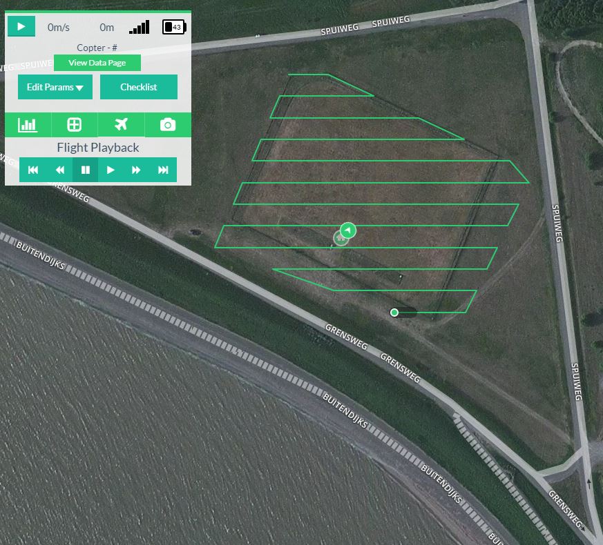
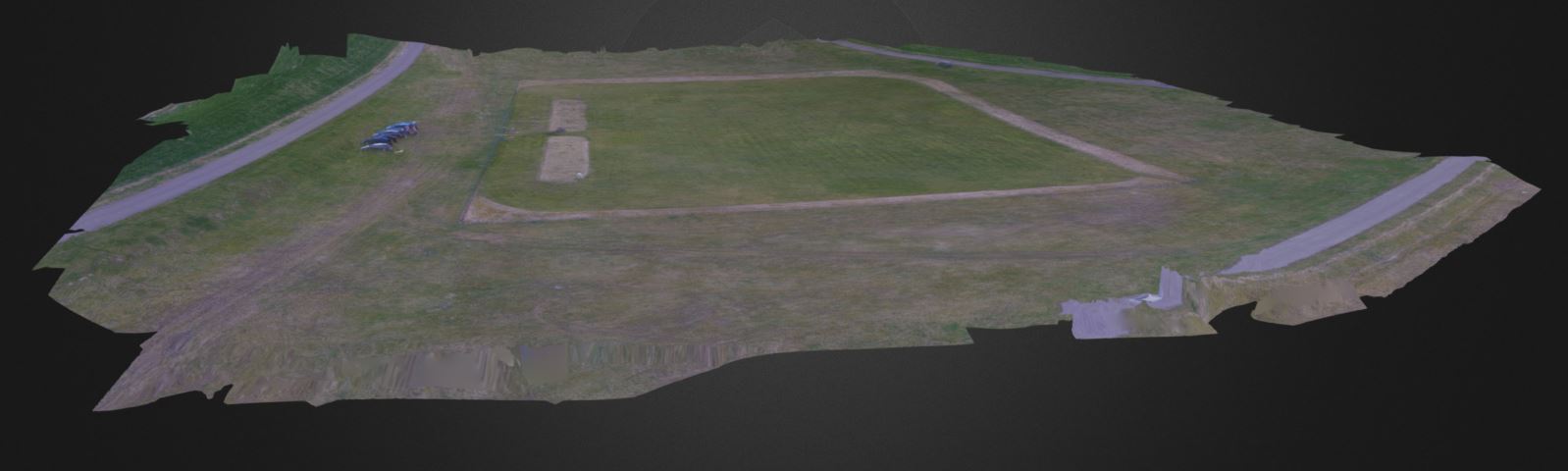
Maak nauwkeurige geospatiale mapping gegenereerd op basis van 2D luchtfoto's.
Mogelijke rapportages zijn high-resolution Digital Elevation Models (DEM), Digital Surface Models (DSM), Orthomosaic afbeeldingen, et cetera.
")
")
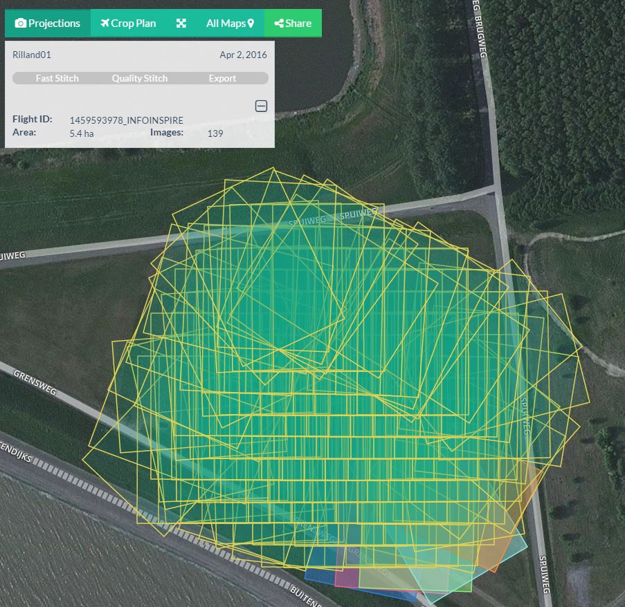
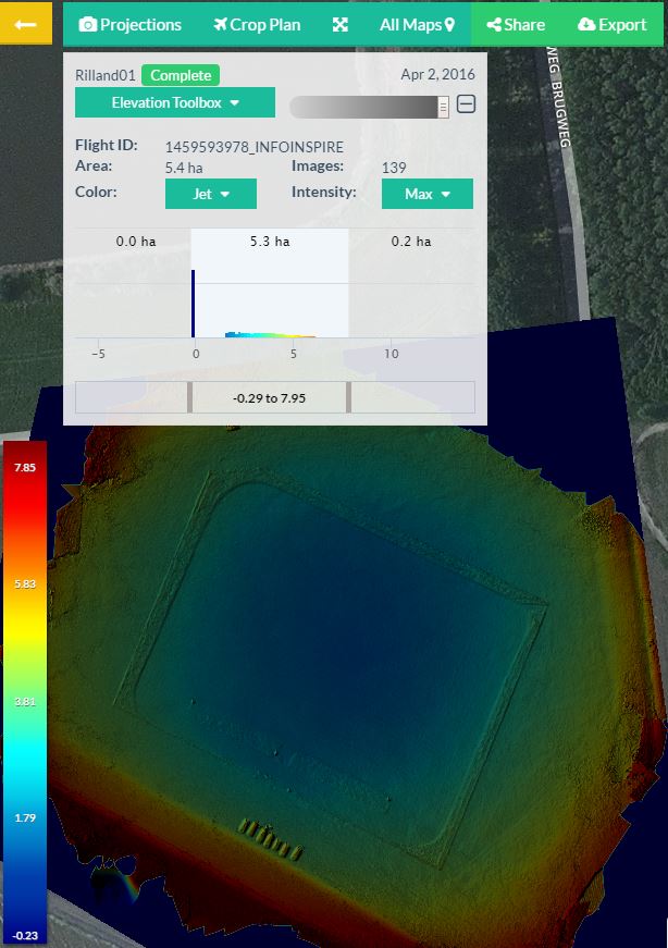
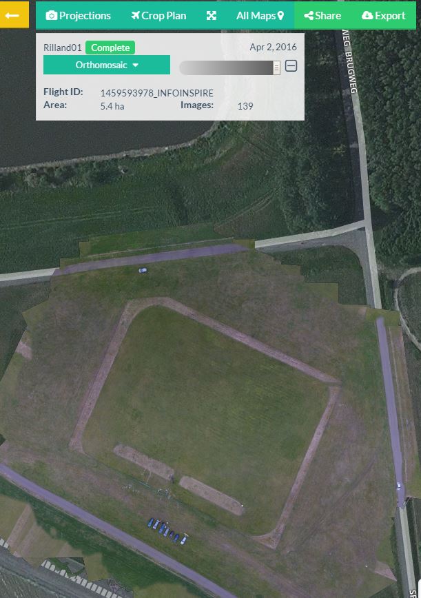
Maak nauwkeurige geospatiale mapping gegenereerd op basis van 2D luchtfoto's.
Mogelijke rapportages zijn high-resolution Digital Elevation Models (DEM), Digital Surface Models (DSM), Orthomosaic afbeeldingen, et cetera.
![]()
![]()
© 2026 RPAS Services BV