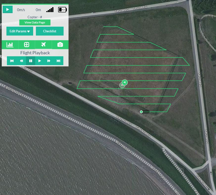
Create accurate geospatial mapping generated from 2D aerial imagery.
Possible deleverables are high-resolution Digital Elevation Models (DEM), Digital Surface Models (DSM), Orthomosaic images, et cetera.
")
")
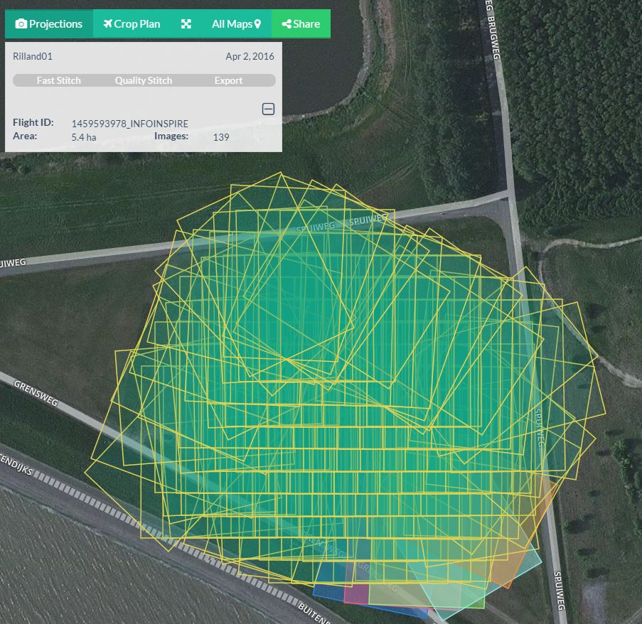
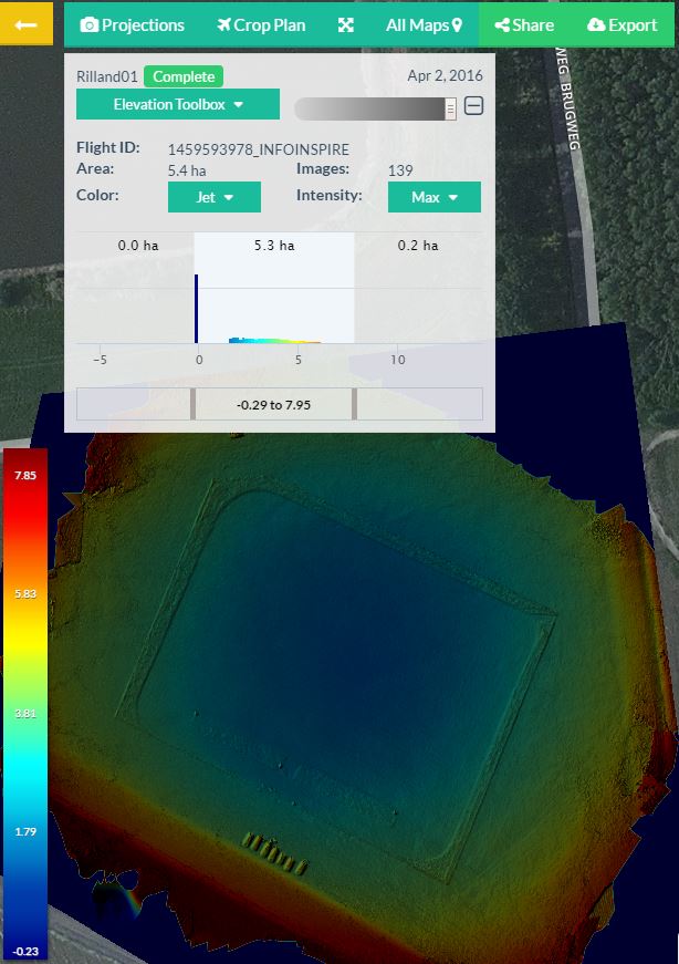
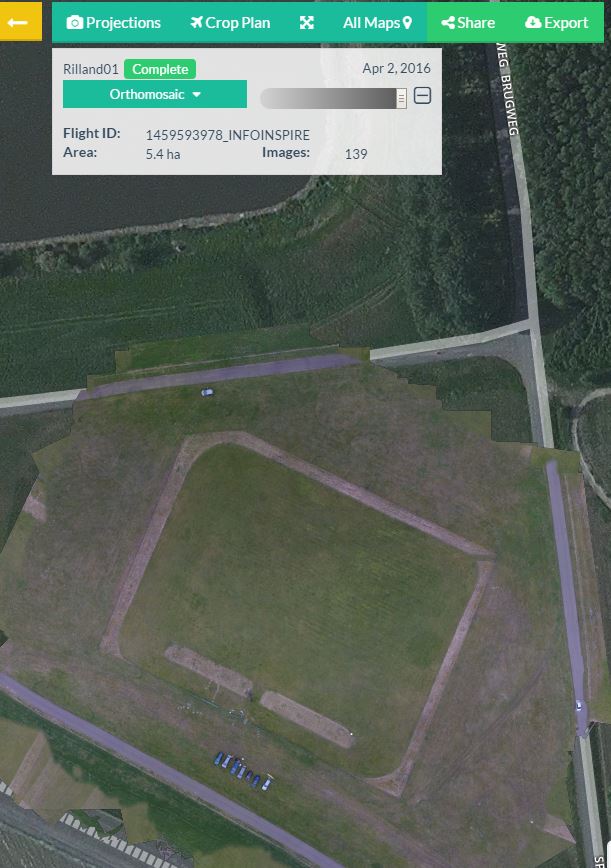
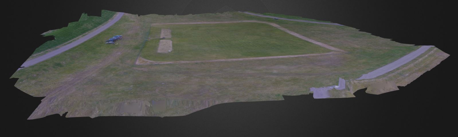
Create accurate geospatial mapping generated from 2D aerial imagery.
Possible deleverables are high-resolution Digital Elevation Models (DEM), Digital Surface Models (DSM), Orthomosaic images, et cetera.
![]()
![]()
![]()
© 2026 RPAS Services BV