")
")
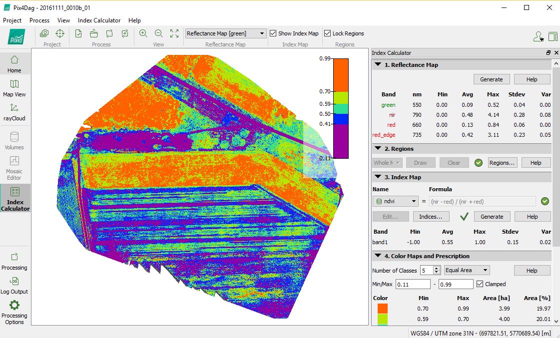
RPAS Services also provides post flight services such as processing the images into 3D digital elevation- and terrain model, orthomosaic and vegetation index reports.
RPAS Services uses PIX4D or Agisoft software and is working with specialists and consultants in the field of surveying, infrastructure, construction and agriculture who can further interpret the data and reports and translate the information into advice, maintenance plans and task cards for precision agriculture.